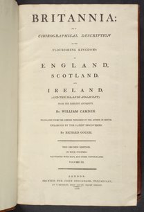
Britannia Romana Collected from Ptolemy, Antonine's Itinerary, the Notitia, and Inscriptions
- 1806
Map of Britain in Roman times drawn from several sources, including the works of Ptolemy and The Itinerary of the Emperor Antoninus, a register of the stations and distances along the various roads of the Roman empire.
| Property | Value |
|---|---|
| Author | |
| Publisher | |
| Printer | |
| Place of publication | |
| Format | |
| Genre | |
| Extent |
|
| Language | |
| Subject | |
| Rights | Public Domain Mark 1.0 |
| Credit line |
|
Institutional location
| Department | |
|---|---|
| Collection |
Related Items
Cite as
Camden, William. “Britannia Romana Collected from Ptolemy, Antonine's Itinerary, the Notitia, and Inscriptions.” In Britannia: or, a Chorographical Description of the Flourishing Kingdoms of England, Scotland, and Ireland, and the Islands Adjacent, Vol. 1. London, England: John Stockdale, 1806. https://digital.sciencehistory.org/works/468amdr.
This citation is automatically generated and may contain errors.


